
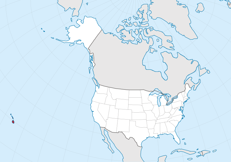
File:Hawaii in United States (US50).svg

Size of this PNG preview of this SVG file: 800 × 561 pixels. Wasu yarjejeniyoyi: 320 × 224 pixels | 640 × 449 pixels | 1,024 × 718 pixels | 1,280 × 897 pixels | 2,560 × 1,795 pixels | 2,078 × 1,457 pixels.
Hoton asali (Fayil kin SVG, saƙar fikisal 2,078 x 1,457, girman fayil: 217 KB)
Taƙaici
.svg)
.svg)
.svg)
.svg)
.svg)
.svg)
.svg)

-en.svg)

.svg)
.svg)
.svg)

_(US48).svg)
_(small_islands_magnified)_(-mini_map_-rivers).svg)
.svg)
_(extra_close)_(US48).svg)
.svg)
_(zoom).svg)

.svg)


_(UNMIK).svg)
.svg)
_(disputed_hatched).svg)
_(claimed_and_disputed_hatched).svg)
.svg)
.svg)
_(%2Ball_claims_hatched).svg)

.svg)
_(shade).svg)
_(shade)_(special_marker).svg)
_(-mini_map).svg)
_(-mini_map).svg)
_(-mini_map).svg)


.svg)

.svg)
.svg)
Lasisi
This image is in the public domain in the United States because it only contains materials that originally came from the United States Geological Survey, an agency of the United States Department of the Interior. For more information, see the official USGS copyright policy.
|

|
I'd greatly appreciate, that you attribute this media file to Wikimedia Commons, if used outside Wikipedia or Commons. For use in publications such as books, newspapers, blogs, websites, please insert here the following line:
|
.svg&action=edit&redlink=1)
Tarihin fayil
Ku latsa rana/lokaci ku ga fayil yadda yake a wannan lokaci
| Rana/Lokaci | Wadar sufa | Kusurwowi | Ma'aikaci | Bahasi | |
|---|---|---|---|---|---|
| na yanzu | 18:09, 20 ga Maris, 2012 | | 2,078 × 1,457 (217 KB) | TUBS | corr alabama colors |
| 20:59, 30 ga Yuli, 2011 |  | 2,078 × 1,457 (326 KB) | TUBS | == {{int:filedesc}} == {{Information |Description={{de|Lage von XY (siehe Dateiname) in den Vereinigten Staaten.}} {{en|Location of state of XY (see filename) in the United States}} |Source={{own}}{{Adobe |
Amfani da fayil
Wadannan shafi na amfani wannan fayil:
Amfanin fayil a ko'ina
Wadannan sauran wikis suna amfani da fayil din anan
- Amfani a kan ang.wikipedia.org
- Amfani a kan ar.wikipedia.org
- Amfani a kan ary.wikipedia.org
- Amfani a kan arz.wikipedia.org
- Amfani a kan ast.wikipedia.org
- Amfani a kan az.wikipedia.org
- Amfani a kan be.wikipedia.org
- Amfani a kan ca.wikipedia.org
- Amfani a kan ceb.wikipedia.org
- Amfani a kan crh.wikipedia.org
- Amfani a kan diq.wikipedia.org
- Amfani a kan el.wikipedia.org
- Amfani a kan en.wikipedia.org
- Amfani a kan eu.wikipedia.org
- Amfani a kan fi.wiktionary.org
- Amfani a kan fr.wikinews.org
- Amfani a kan ga.wikipedia.org
- Amfani a kan gl.wikipedia.org
- Amfani a kan ht.wikipedia.org
- Amfani a kan hy.wikipedia.org
- Amfani a kan ia.wikipedia.org
- Amfani a kan ie.wikipedia.org
- Amfani a kan kab.wikipedia.org
- Amfani a kan ku.wikipedia.org
- Amfani a kan lad.wikipedia.org
- Amfani a kan la.wikipedia.org
- Amfani a kan nds.wikipedia.org
- Amfani a kan oc.wikipedia.org
- Amfani a kan pap.wikipedia.org
- Amfani a kan sr.wikipedia.org
- Amfani a kan tg.wikipedia.org
- Amfani a kan tt.wikipedia.org
- Amfani a kan uk.wikipedia.org
- Amfani a kan www.wikidata.org
.svg)