
File:Lake Chad 1973.jpg
Yanayin wannan rigayi gani: 584 × 600 pixels. Wasu yarjejeniyoyi: 234 × 240 pixels | 467 × 480 pixels | 971 × 997 pixels.
Hoton asali (pikisal 971 × 997, girman fayil: 553 KB, irin MIME: image/jpeg)
Taƙaici
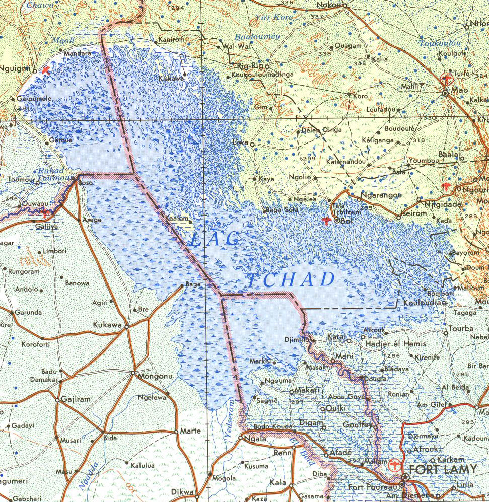
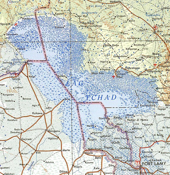
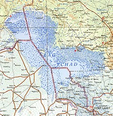
Cropped from public domain US army map from PCL map collection, located here. Specifically, Fort Lamy Sheet 13, Edition 4, DMATC, 1973.
Lasisi
This file is a work of a U.S. Army soldier or employee, taken or made as part of that person's official duties. As a work of the U.S. federal government, it is in the public domain in the United States.
|
 |
Tarihin fayil
Ku latsa rana/lokaci ku ga fayil yadda yake a wannan lokaci
| Rana/Lokaci | Wadar sufa | Kusurwowi | Ma'aikaci | Bahasi | |
|---|---|---|---|---|---|
| na yanzu | 12:07, 19 ga Yuli, 2007 | | 971 × 997 (553 KB) | Roke~commonswiki | Cropped from public domain US army map from PCL map collection, located [http://www.lib.utexas.edu/maps/ams/africa/ here]. Specifically, Fort Lamy Sheet 13, Edition 4, DMATC, 1973. Category:Maps of Chad |
Amfani da fayil
Wadannan shafi na amfani wannan fayil:
Amfanin fayil a ko'ina
Wadannan sauran wikis suna amfani da fayil din anan
- Amfani a kan ar.wikipedia.org
- Amfani a kan bg.wikipedia.org
- Amfani a kan cs.wikipedia.org
- Amfani a kan de.wikipedia.org
- Amfani a kan en.wikipedia.org
- Amfani a kan es.wikipedia.org
- Amfani a kan fa.wikipedia.org
- Amfani a kan fo.wikipedia.org
- Amfani a kan frr.wikipedia.org
- Amfani a kan fr.wikipedia.org
- Amfani a kan gl.wikipedia.org
- Amfani a kan id.wikipedia.org
- Amfani a kan ko.wikipedia.org
- Amfani a kan nn.wikipedia.org
- Amfani a kan pl.wikipedia.org
- Amfani a kan pt.wikipedia.org
- Amfani a kan ru.wikipedia.org
- Amfani a kan ru.wikinews.org
- Amfani a kan sq.wikipedia.org
- Amfani a kan tr.wikipedia.org
- Amfani a kan www.wikidata.org
- Amfani a kan zh.wikipedia.org