
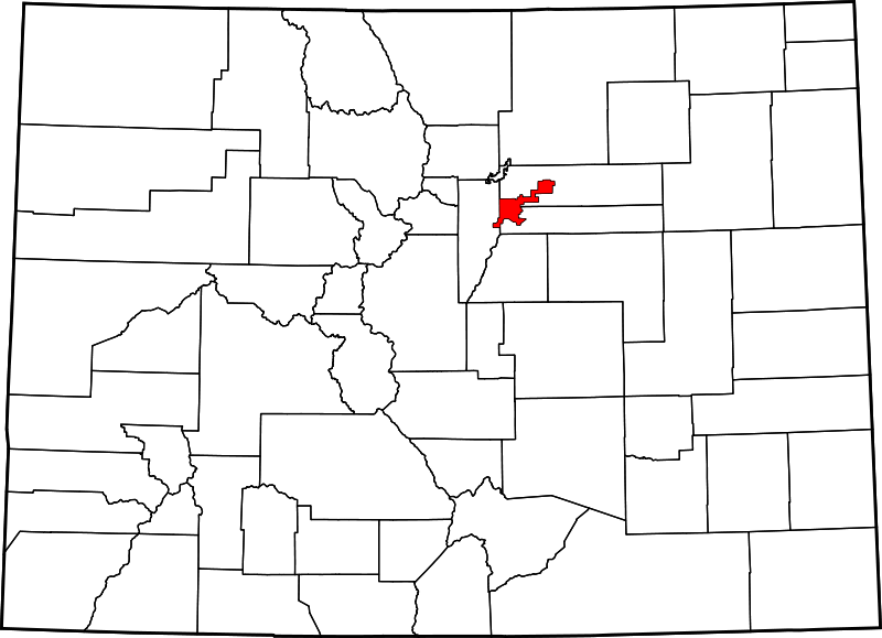
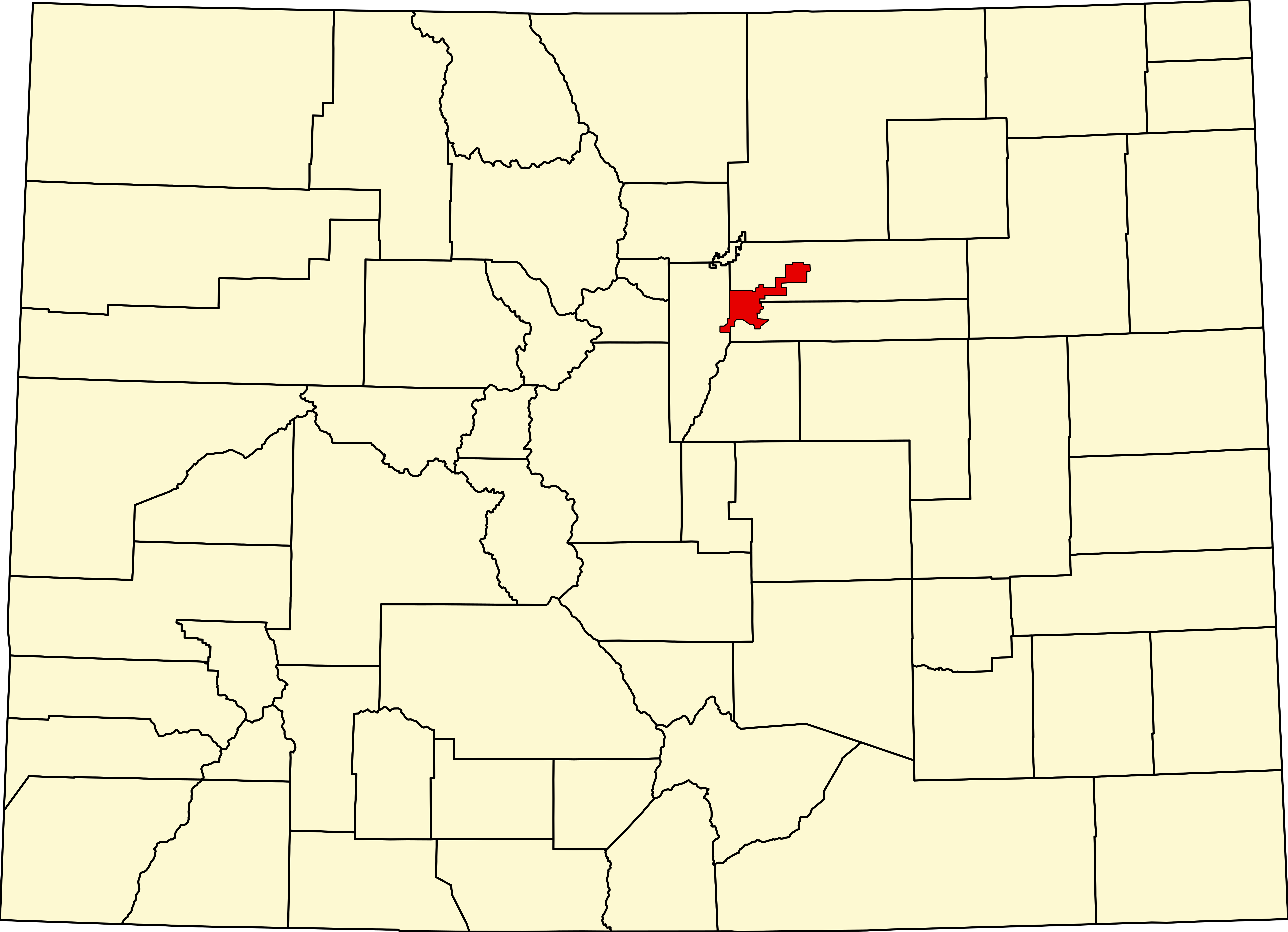
File:Map of Colorado highlighting Denver County.svg

Size of this PNG preview of this SVG file: 800 × 579 pixels. Wasu yarjejeniyoyi: 320 × 232 pixels | 640 × 463 pixels | 1,024 × 741 pixels | 1,280 × 926 pixels | 2,560 × 1,852 pixels | 6,234 × 4,511 pixels.
Hoton asali (Fayil kin SVG, saƙar fikisal 6,234 x 4,511, girman fayil: 67 KB)
Taƙaici
| Bayani |
English: A map of Colorado highlighting Denver County. For more information, see Commons:United States county locator maps. |
| Rana | |
| Masomi |
Aikin na: English: The maps use data from nationalatlas.gov, specifically countyp020.tar.gz on the Raw Data Download page. The maps also use state outline data from statesp020.tar.gz. The Florida maps use hydrogm020.tar.gz to display Lake Okeechobee. |
| Marubucin | David Benbennick |
Lasisi
| I, the copyright holder of this work, release this work into the public domain. This applies worldwide. In some countries this may not be legally possible; if so: I grant anyone the right to use this work for any purpose, without any conditions, unless such conditions are required by law. |
Tarihin fayil
Ku latsa rana/lokaci ku ga fayil yadda yake a wannan lokaci
| Rana/Lokaci | Wadar sufa | Kusurwowi | Ma'aikaci | Bahasi | |
|---|---|---|---|---|---|
| na yanzu | 05:42, 13 ga Faburairu, 2006 | | 6,234 × 4,511 (67 KB) | David Benbennick | New version, smaller file size |
Amfani da fayil
Babu shafuka da suke amfani da fayil din nan.
Amfanin fayil a ko'ina
Wadannan sauran wikis suna amfani da fayil din anan
- Amfani a kan af.wikipedia.org
- Amfani a kan bpy.wikipedia.org
- Amfani a kan ceb.wikipedia.org
- Amfani a kan en.wikipedia.org
- Denver
- List of counties in Colorado
- Denver International Airport
- LoDo, Denver
- Auraria, Denver
- Alamo Placita, Denver
- Capitol Hill, Denver
- Civic Center, Denver (neighborhood)
- Montbello, Denver
- Washington Park, Denver
- List of people from Denver
- Park Hill, Denver
- Five Points, Denver
- University, Denver
- Cherry Creek, Denver
- Jefferson Park, Denver
- Highland, Denver
- City Park, Denver
- Baker, Denver
- National Register of Historic Places listings in Denver
- Lowry, Denver
- Montclair, Denver
- Sunnyside, Denver
- Berkeley, Denver
- Sun Valley, Denver
- Downtown Denver
- Athmar Park, Denver
- Cheesman Park, Denver
- List of Colorado municipalities by county
- Whittier, Denver
- User:Nyttend/County templates/CO
- Lincoln Park, Denver
- Sloan Lake (Colorado)
- Country Club, Denver
- North Capitol Hill, Denver
- Virginia Village, Denver
- Hampden South, Denver
- Villa Park, Denver
- Globeville, Denver
- City Park West, Denver
- Elyria-Swansea, Denver
- Congress Park, Denver
- Chaffee Park, Denver
- Speer, Denver
- West Colfax, Denver
- Valverde, Denver
- Barnum, Denver
Duba ƙarin amfanin wannan fayil.