
File:Map of South Carolina highlighting Pickens County.svg

Size of this PNG preview of this SVG file: 752 × 599 pixels. Wasu yarjejeniyoyi: 301 × 240 pixels | 602 × 480 pixels | 964 × 768 pixels | 1,280 × 1,020 pixels | 2,560 × 2,040 pixels | 4,419 × 3,522 pixels.
Hoton asali (Fayil kin SVG, saƙar fikisal 4,419 x 3,522, girman fayil: 103 KB)
Taƙaici
| Bayani |
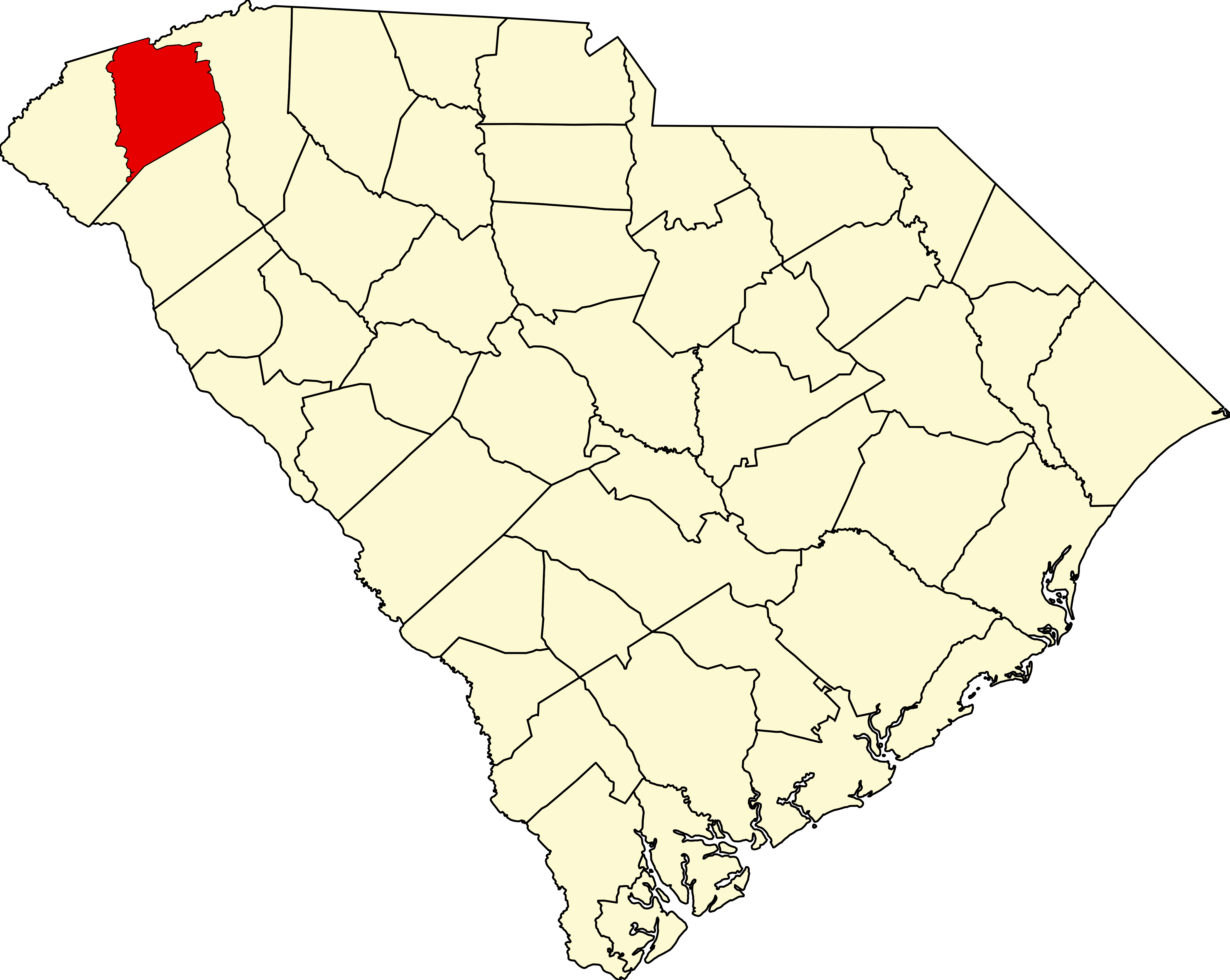
English: This is a locator map showing Pickens County in South Carolina. For more information, see Commons:United States county locator maps. |
| Rana | |
| Masomi |
Aikin na: English: The maps use data from nationalatlas.gov, specifically countyp020.tar.gz on the Raw Data Download page. The maps also use state outline data from statesp020.tar.gz. The Florida maps use hydrogm020.tar.gz to display Lake Okeechobee. |
| Marubucin | David Benbennick |
Lasisi
| I, the copyright holder of this work, release this work into the public domain. This applies worldwide. In some countries this may not be legally possible; if so: I grant anyone the right to use this work for any purpose, without any conditions, unless such conditions are required by law. |
Tarihin fayil
Ku latsa rana/lokaci ku ga fayil yadda yake a wannan lokaci
| Rana/Lokaci | Wadar sufa | Kusurwowi | Ma'aikaci | Bahasi | |
|---|---|---|---|---|---|
| na yanzu | 16:26, 12 ga Faburairu, 2006 | | 4,419 × 3,522 (103 KB) | David Benbennick | {{subst:User:Dbenbenn/clm|county=Pickens County|state=South Carolina|type=county}} |
Amfani da fayil
Wadannan shafi na amfani wannan fayil:
Amfanin fayil a ko'ina
Wadannan sauran wikis suna amfani da fayil din anan
- Amfani a kan ar.wikipedia.org
- Amfani a kan bg.wikipedia.org
- Amfani a kan bpy.wikipedia.org
- Amfani a kan cdo.wikipedia.org
- Amfani a kan ceb.wikipedia.org
- Amfani a kan ce.wikipedia.org
- Amfani a kan cy.wikipedia.org
- Amfani a kan de.wikipedia.org
- Amfani a kan en.wikipedia.org
- List of counties in South Carolina
- Pickens County, South Carolina
- Arial, South Carolina
- Central, South Carolina
- Easley, South Carolina
- Liberty, South Carolina
- Norris, South Carolina
- Pickens, South Carolina
- Six Mile, South Carolina
- Clemson, South Carolina
- Rocky Bottom, South Carolina
- Template:Pickens County, South Carolina
- User:Nyttend/County templates/SC
- National Register of Historic Places listings in Pickens County, South Carolina
- Dacusville, South Carolina
- Category:Populated places in Pickens County, South Carolina
- Nine Times, South Carolina
- Sunset, South Carolina
- Cateechee, South Carolina
- Amfani a kan es.wikipedia.org
- Amfani a kan eu.wikipedia.org
- Amfani a kan fa.wikipedia.org
- Amfani a kan fi.wikipedia.org
- Amfani a kan fr.wikipedia.org
- Amfani a kan ga.wikipedia.org
- Amfani a kan hu.wikipedia.org
- Amfani a kan hy.wikipedia.org
- Amfani a kan it.wikipedia.org
- Amfani a kan ja.wikipedia.org
Duba ƙarin amfanin wannan fayil.