
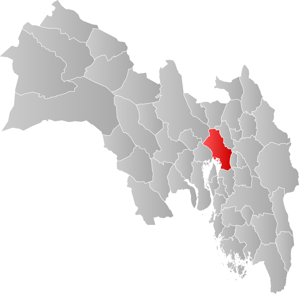
File:NO 0301 Oslo.svg

Size of this PNG preview of this SVG file: 608 × 599 pixels. Wasu yarjejeniyoyi: 243 × 240 pixels | 487 × 480 pixels | 779 × 768 pixels | 1,039 × 1,024 pixels | 2,077 × 2,048 pixels | 998 × 984 pixels.
Hoton asali (Fayil kin SVG, saƙar fikisal 998 x 984, girman fayil: 138 KB)
| Bayani | |||
| Rana | |||
| Masomi | Aikin na | ||
| Marubucin | Jon Harald Søby | ||
| Izini (Sake amfani da wannan fayil) |
|
||
| SVG genesis |
Tarihin fayil
Ku latsa rana/lokaci ku ga fayil yadda yake a wannan lokaci
| Rana/Lokaci | Wadar sufa | Kusurwowi | Ma'aikaci | Bahasi | |
|---|---|---|---|---|---|
| na yanzu | 03:28, 4 ga Faburairu, 2020 | | 998 × 984 (138 KB) | Jay1279 | update after county merger to show Oslo inside Viken County |
| 20:42, 21 ga Janairu, 2007 |  | 744 × 1,052 (62 KB) | Jon Harald Søby | {{User:Jon Harald Søby/Kartlisens|Oslo|Akershus}} |
Amfani da fayil
Babu shafuka da suke amfani da fayil din nan.
Amfanin fayil a ko'ina
Wadannan sauran wikis suna amfani da fayil din anan
- Amfani a kan af.wikipedia.org
- Amfani a kan ar.wikipedia.org
- Amfani a kan bpy.wikipedia.org
- Amfani a kan bs.wikipedia.org
- Amfani a kan ca.wikipedia.org
- Amfani a kan ceb.wikipedia.org
- Amfani a kan da.wikipedia.org
- Amfani a kan de.wikipedia.org
- Amfani a kan en.wikipedia.org
- Amfani a kan es.wikipedia.org
- Amfani a kan fa.wikipedia.org
- Amfani a kan fo.wikipedia.org
- Amfani a kan fr.wikipedia.org
- Amfani a kan gd.wikipedia.org
- Amfani a kan hu.wikipedia.org
- Amfani a kan hy.wikipedia.org
- Amfani a kan id.wikipedia.org
- Amfani a kan incubator.wikimedia.org
- Amfani a kan it.wikipedia.org
- Amfani a kan ja.wikipedia.org
- Amfani a kan lij.wikipedia.org
- Amfani a kan nds.wikipedia.org
- Amfani a kan ne.wikipedia.org
- Amfani a kan nl.wikipedia.org
- Amfani a kan nn.wikipedia.org
- Amfani a kan nov.wikipedia.org
- Amfani a kan no.wikipedia.org
- Amfani a kan oc.wikipedia.org
- Amfani a kan pcd.wikipedia.org
- Amfani a kan pnb.wikipedia.org
- Amfani a kan pt.wikipedia.org
- Amfani a kan ro.wikipedia.org
- Amfani a kan ru.wikipedia.org
- Amfani a kan smn.wikipedia.org
- Amfani a kan sq.wikipedia.org
- Amfani a kan th.wikipedia.org
Duba ƙarin amfanin wannan fayil.