Copyright warning: A subject in this image is protected by copyright.
This image features an architectural or artistic work, photographed from a public space in the United Arab Emirates (UAE). Except for broadcast programmes, there are no Freedom of Panorama exemptions in the UAE, which means that they cannot be photographed freely for anything other than personal purposes. However, images depicting buildings during construction showing incomplete prominent exterior designs, and those subject to de minimis, are permitted.
If a copyrighted architectural or artistic work is contained in this image and it is a substantial reproduction, this photo cannot be licensed under a free license, and will be deleted. Framing this image to focus on the copyrighted work is also a copyright violation.
Before reusing this content, ensure that you have the right to do so. You are solely responsible for ensuring that you do not infringe someone else's copyrights. See our general disclaimer for more information.
Warning: One or more elements in this file are protected by copyright
Some parts of this file are not fully free but believed to be de minimis for this work. Derivatives of this file which focus more on the non-free element(s) may not qualify as de minimis and may be copyright violations. As a direct consequence, cropped versions of this file may require a review of their copyright status.
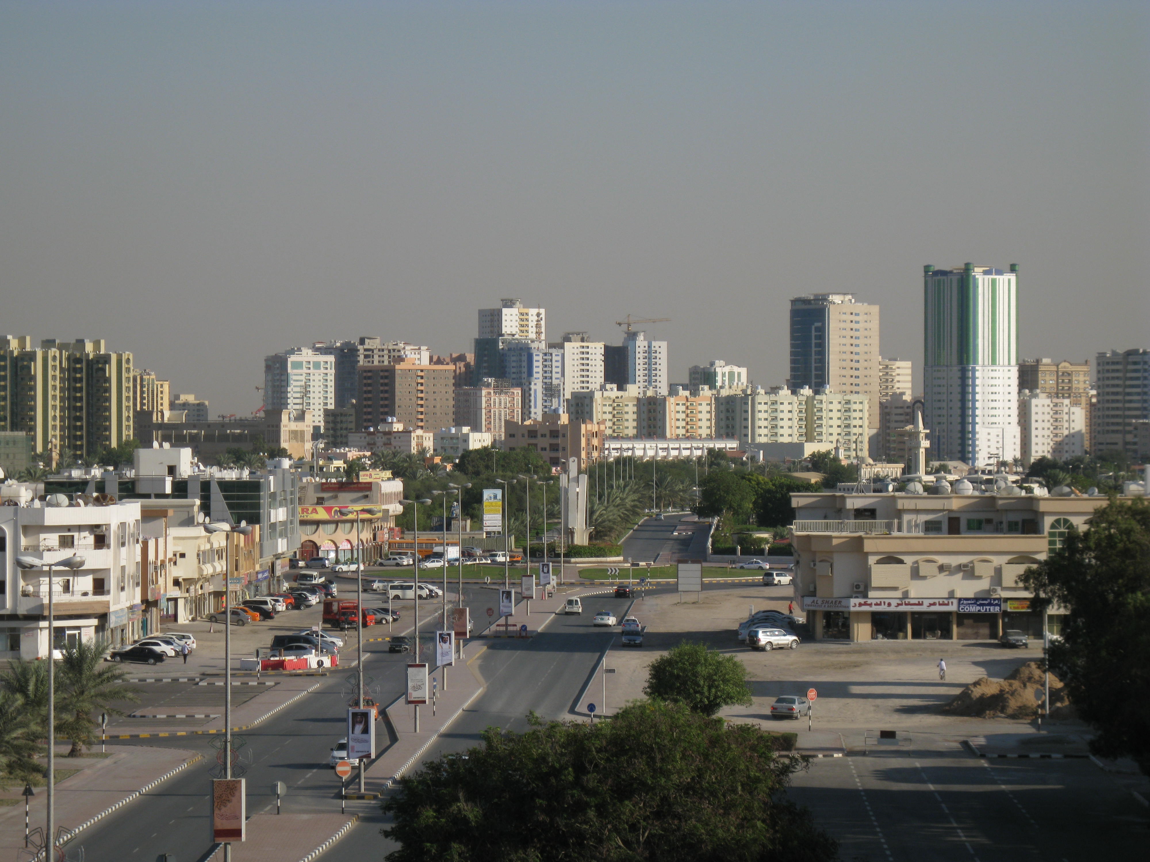
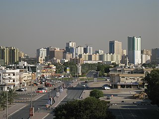
This information template was included because This file applies broad skyline view of Dubai in general, NOT to any specific building and/or structure. Cropping of image to the closer-range of this skyline, or to any building and/or structure illustrated is considered an overlap of de minimis and is highly forbidden, as there is virtually no freedom of panorama in the United Arab Emirates..
I, the copyright holder of this work, hereby publish it under the following licenses:
An bada damar a kofa, a yaɗa/ko sauya wannan kundi ƙarƙashin Lasisin GNU ta kyauta, Fitarwa na 1.2 ko duk wani fitarwa da zai biyo baya daga Gidauniyar Samar da Software ta Kyauta; ba tare da sauyin sashe ba, babu Rubutun Fuskar gaban shafi, kuma babu Rubutun bayan shafi. Kofi na lasisin na nan an sanya sa aciki ƙarƙashin sashen GNU Free Documentation License.http://www.gnu.org/copyleft/fdl.htmlGFDLGNU Free Documentation Licensetruetrue
Jinginarwa – Dole ku bada jinjina da ta dace, samar da linki zuwa lasisin, da kuma bayyana ko kunyi sauyi. Zaku iya haka ta yadda ta dace, amma ba kowace hanya ba wanda zai nuna mai-lasisin yana goyon bayan ku ba ko goyon bayan amfanin da kuke yi ba.
Yada ahaka – Idan kuka maimaita, sabuntawa, ko kari akan wannan, dole ku bayar da gudunmuwar ku karkashin iri daya ko lasisi data dace kamar na asali.


