
File:Battle of Mu'tah.jpg
Yanayin wannan rigayi gani: 800 × 533 pixels. Wasu yarjejeniyoyi: 320 × 213 pixels | 640 × 427 pixels | 1,024 × 683 pixels | 1,280 × 854 pixels | 2,500 × 1,667 pixels.
Hoton asali (pikisal 2,500 × 1,667, girman fayil: 986 KB, irin MIME: image/jpeg)
Taƙaici
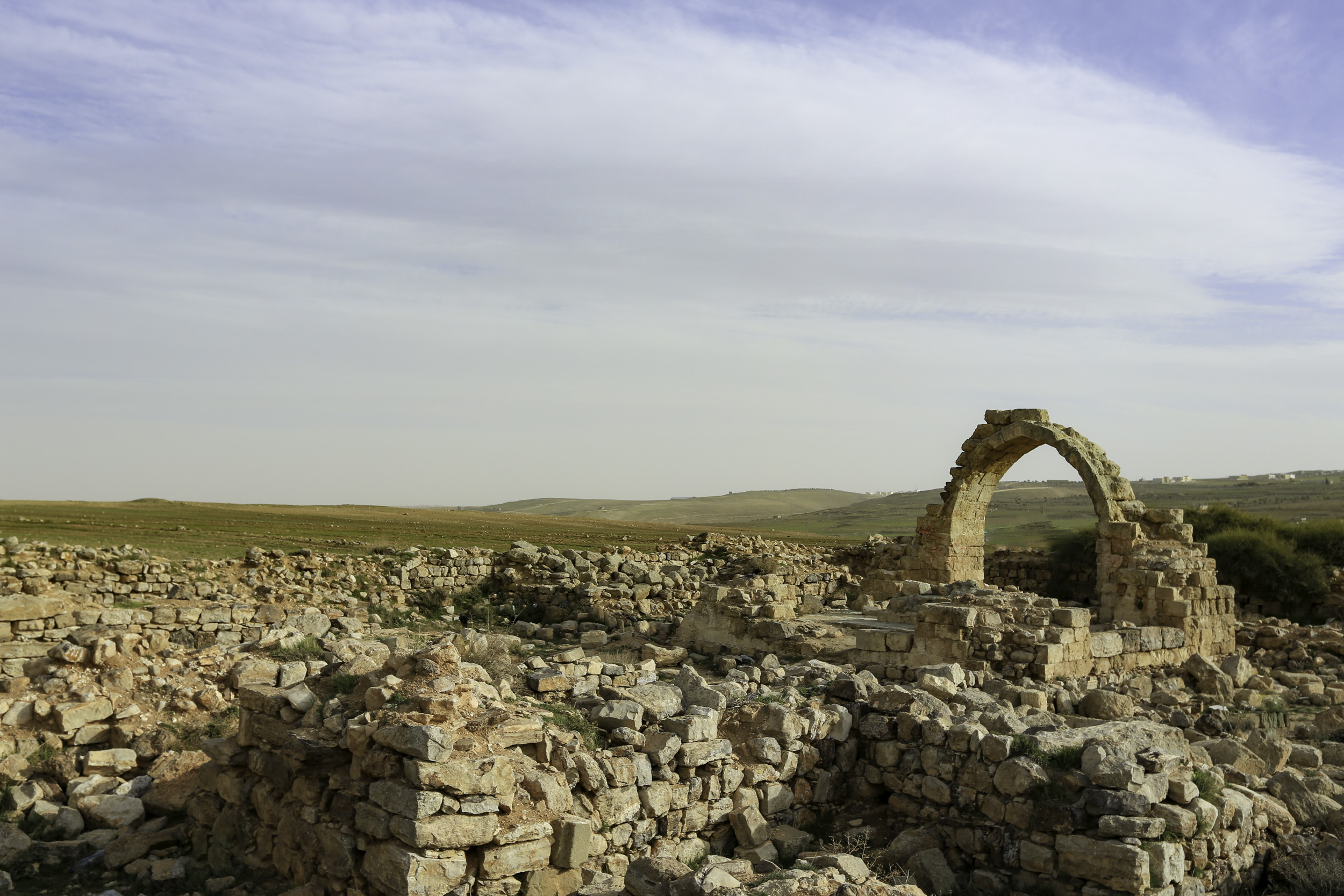
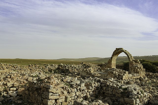
| Yakin Mu'tah
|
||||
|---|---|---|---|---|
| Mai daukar hoto |  | |||
| Title |
Battle of Mu'tah |
|||
| Bangare na |
army of Mohammad |
|||
| Object type |
faɗa |
|||
| Bayani |
archeological site in Mu'tah |
|||
| Rana | 15 Faburairu 2013, 16:26 | |||
| Collection | ||||
| Object location |
|
|||
| Authority file | ||||
| Masomi | Bashar Tabbah | |||
| Izini (Sake amfani da wannan fayil) |
||||

| Camera location | | View this and other nearby images on: OpenStreetMap |
|---|
Lasisi
This file is licensed under the Creative Commons Attribution-Share Alike 4.0 International license.
- Za ka iya:
- a raba – dan kwafa, yadawa da aika aikin
- dan maimaita – dan daukar aikin
- A karkashin wannan sharuddan
- Jinginarwa – Dole ku bada jinjina da ta dace, samar da linki zuwa lasisin, da kuma bayyana ko kunyi sauyi. Zaku iya haka ta yadda ta dace, amma ba kowace hanya ba wanda zai nuna mai-lasisin yana goyon bayan ku ba ko goyon bayan amfanin da kuke yi ba.
- Yada ahaka – Idan kuka maimaita, sabuntawa, ko kari akan wannan, dole ku bayar da gudunmuwar ku karkashin iri daya ko lasisi data dace kamar na asali.
Tarihin fayil
Ku latsa rana/lokaci ku ga fayil yadda yake a wannan lokaci
| Rana/Lokaci | Wadar sufa | Kusurwowi | Ma'aikaci | Bahasi | |
|---|---|---|---|---|---|
| na yanzu | 17:50, 12 Oktoba 2019 | | 2,500 × 1,667 (986 KB) | Flycatchr | pattypan 19.06 |
Amfani da fayil
Wadannan shafi na amfani wannan fayil:
Amfanin fayil a ko'ina
Wadannan sauran wikis suna amfani da fayil din anan
- Amfani a kan ar.wikipedia.org
- Amfani a kan en.wikipedia.org
- Amfani a kan fr.wikipedia.org
- Amfani a kan it.wikipedia.org
- Amfani a kan uk.wikipedia.org
- Amfani a kan uz.wikipedia.org