
File:Blank Map-Africa.svg

Size of this PNG preview of this SVG file: 585 × 600 pixels. Wasu yarjejeniyoyi: 234 × 240 pixels | 468 × 480 pixels | 749 × 768 pixels | 999 × 1,024 pixels | 1,998 × 2,048 pixels | 1,200 × 1,230 pixels.
Hoton asali (Fayil kin SVG, saƙar fikisal 1,200 x 1,230, girman fayil: 54 KB)
Taƙaici
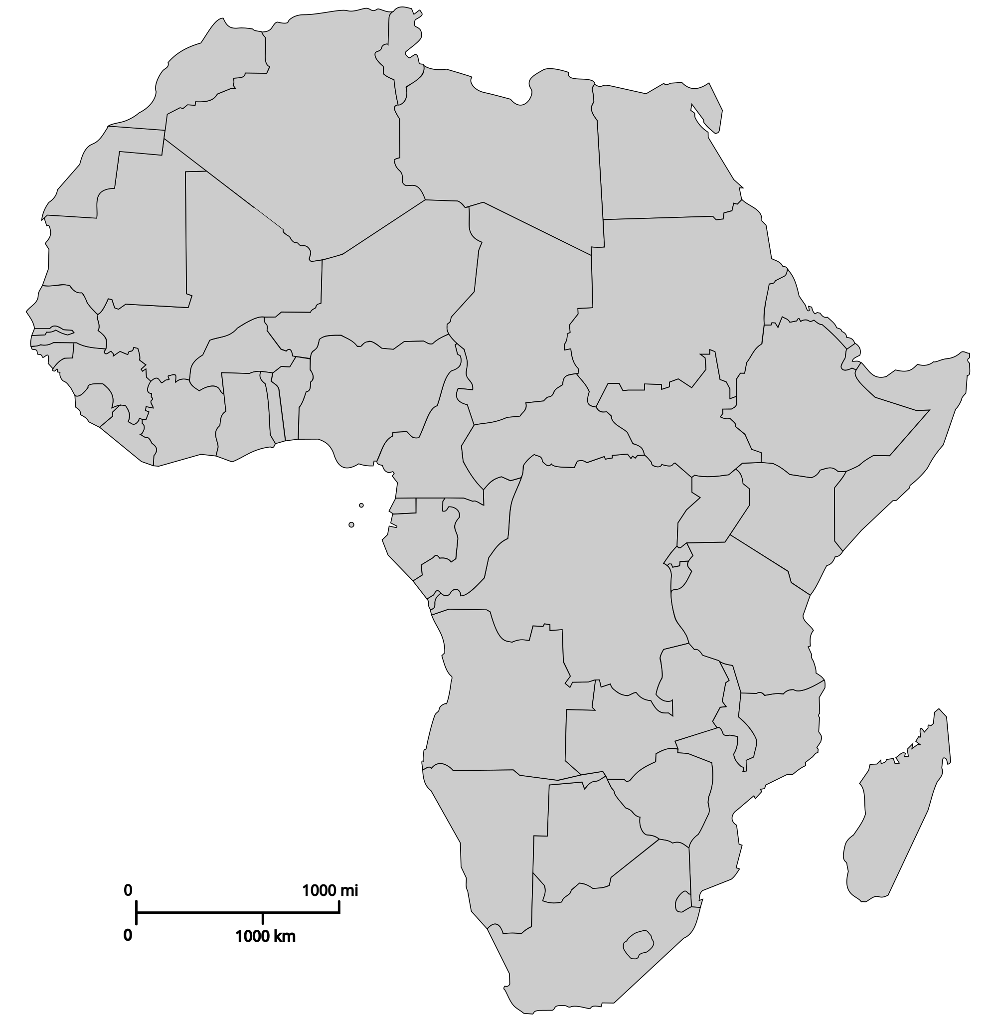
| Bayani | Political map of Africa |
| Rana | |
| Masomi | Aikin na |
| Marubucin | Andreas 06 |
| Other versions |
Derivative works of this file: |
| SVG genesis |
Lasisi
| I, the copyright holder of this work, release this work into the public domain. This applies worldwide. In some countries this may not be legally possible; if so: I grant anyone the right to use this work for any purpose, without any conditions, unless such conditions are required by law. |
Tarihin fayil
Ku latsa rana/lokaci ku ga fayil yadda yake a wannan lokaci
| Rana/Lokaci | Wadar sufa | Kusurwowi | Ma'aikaci | Bahasi | |
|---|---|---|---|---|---|
| na yanzu | 22:52, 8 ga Maris, 2018 | | 1,200 × 1,230 (54 KB) | Maphobbyist | Reverted to version as of 14:58, 20 October 2011 (UTC) |
| 00:15, 18 ga Yuli, 2017 |  | 1,200 × 1,230 (63 KB) | AVRTM2 | Reverted to version as of 08:33, 20 January 2017 (UTC) | |
| 16:45, 13 ga Yuli, 2017 |  | 1,200 × 1,230 (59 KB) | Mosahih | Minor modification | |
| 15:50, 13 ga Yuli, 2017 |  | 1,200 × 1,230 (54 KB) | Mosahih | SADR unrecognized country | |
| 08:33, 20 ga Janairu, 2017 |  | 1,200 × 1,230 (63 KB) | عادل | correction of Egypt borders | |
| 14:58, 20 Oktoba 2011 |  | 1,200 × 1,230 (54 KB) | Ninjatacoshell | Changed Sudan from a single object with a line across it to two objects—north and south. | |
| 19:17, 22 ga Yuli, 2011 |  | 1,200 × 1,230 (47 KB) | Liandrei | +South Sudan | |
| 23:58, 18 ga Maris, 2007 |  | 1,200 × 1,230 (67 KB) | Revolus | Lesotho nach hinten, Quelle de:Bild:Afrika_Politisch_2.png | |
| 23:44, 18 ga Maris, 2007 |  | 1,200 × 1,230 (67 KB) | Revolus | Angepasst; kleiner; ordentliche IDs; leider deutsch, da zu faul, englische Namen rauszusuchen | |
| 03:56, 7 Satumba 2006 |  | 1,200 × 1,230 (85 KB) | Andreas 06 | Imagesize reduced |
Amfani da fayil
Babu shafuka da suke amfani da fayil din nan.
Amfanin fayil a ko'ina
Wadannan sauran wikis suna amfani da fayil din anan
- Amfani a kan ar.wikipedia.org
- Amfani a kan azb.wikipedia.org
- Amfani a kan bg.wikipedia.org
- Amfani a kan dag.wikipedia.org
- Amfani a kan de.wikipedia.org
- Amfani a kan en.wikipedia.org
- List of temples of the Church of Jesus Christ of Latter-day Saints
- Johannesburg South Africa Temple
- Aba Nigeria Temple
- Africa
- Accra Ghana Temple
- User:Lumber Jack second account
- List of temples of the Church of Jesus Christ of Latter-day Saints by geographic region
- Comparison of temples of the Church of Jesus Christ of Latter-day Saints
- Template:Africa Labelled Map
- Temple architecture (LDS Church)
- Billy Johnson (Mormon)
- Membership statistics of the Church of Jesus Christ of Latter-day Saints
- Membership statistics of the Church of Jesus Christ of Latter-day Saints (United States)
- Membership statistics of the Church of Jesus Christ of Latter-day Saints (Canada)
- The Church of Jesus Christ of Latter-day Saints in Ghana
- Temple (LDS Church)
- Template:LDS-Africa
- The Church of Jesus Christ of Latter-day Saints in the Democratic Republic of the Congo
- The Church of Jesus Christ of Latter-day Saints in Liberia
- Durban South Africa Temple
- The Church of Jesus Christ of Latter-day Saints in South Africa
- The Church of Jesus Christ of Latter-day Saints in Nigeria
- The Church of Jesus Christ of Latter-day Saints in Sierra Leone
- The Church of Jesus Christ of Latter-day Saints in Angola
- The Church of Jesus Christ of Latter-day Saints in Botswana
- The Church of Jesus Christ of Latter-day Saints in Zimbabwe
- The Church of Jesus Christ of Latter-day Saints in Uganda
- The Church of Jesus Christ of Latter-day Saints in Kenya
- The Church of Jesus Christ of Latter-day Saints in Ivory Coast
- The Church of Jesus Christ of Latter-day Saints in Cape Verde
- The Church of Jesus Christ of Latter-day Saints in Madagascar
- User:Northamerica1000/Notepad
- User:Pharaoh Amun
- Abidjan Ivory Coast Temple
- Outline of the Church of Jesus Christ of Latter-day Saints
- Harare Zimbabwe Temple
- Talk:2018 Équateur province Ebola outbreak/Archive 1
- Kinshasa Democratic Republic of the Congo Temple
- Praia Cape Verde Temple
- Bengaluru India Temple
- Template:LDS-World
- User:Mujinga/DraftT28
Duba ƙarin amfanin wannan fayil.