
File:El-Atteuf Ghardaia Algeria.jpg
Yanayin wannan rigayi gani: 800 × 600 pixels. Wasu yarjejeniyoyi: 320 × 240 pixels | 640 × 480 pixels | 1,024 × 768 pixels | 1,280 × 960 pixels | 1,600 × 1,200 pixels.
Hoton asali (pikisal 1,600 × 1,200, girman fayil: 272 KB, irin MIME: image/jpeg)
Taƙaici
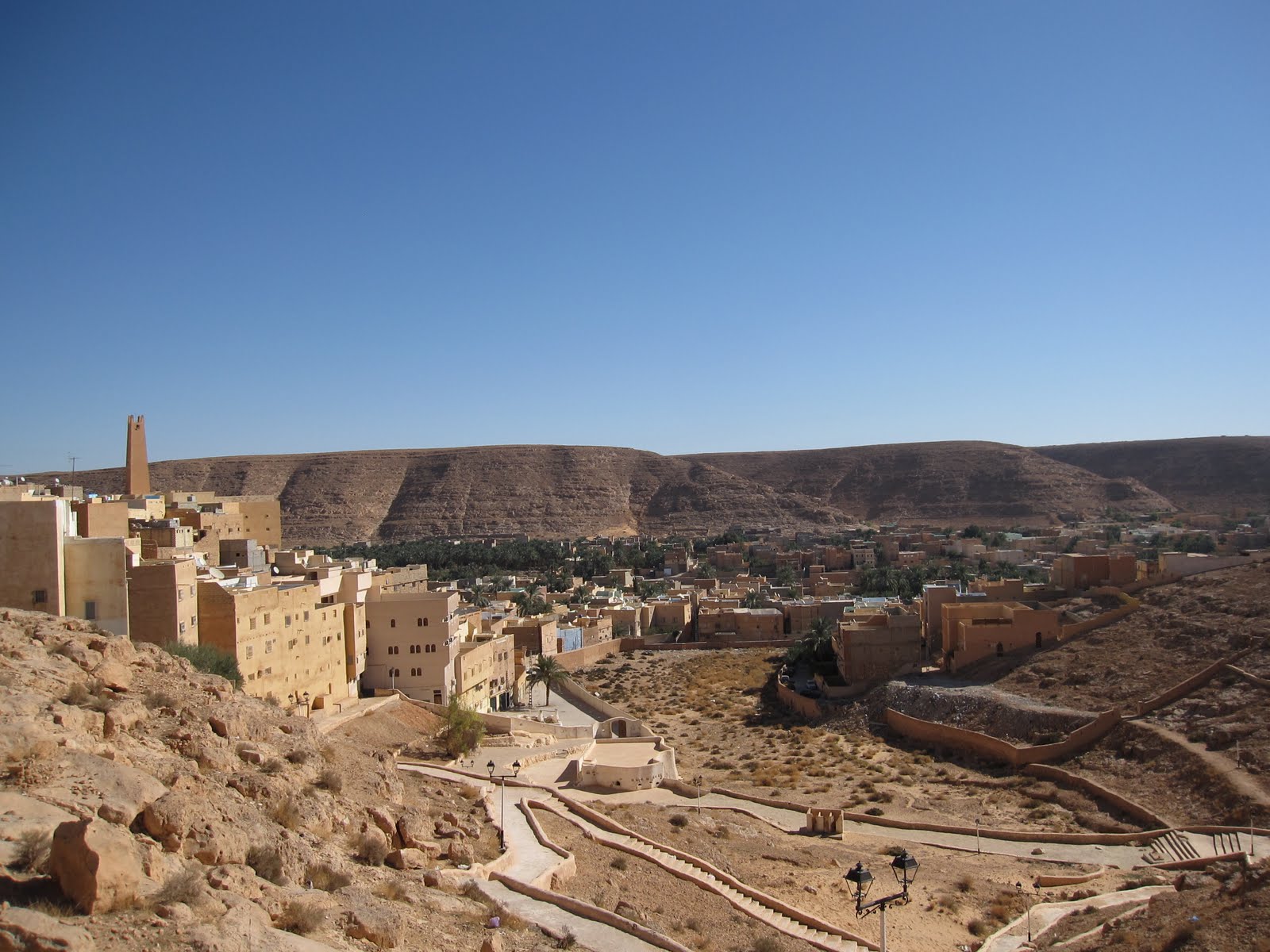
| Bayani | El-Atteuf, the oldest of the five valley towns, founded in 1013 |
| Rana | |
| Masomi | Algeria Tunisia Libya 007 |
| Marubucin | Stefan Krasowski from New York, NY, USA |
| Other versions |

| Camera location | | View this and other nearby images on: OpenStreetMap |
|---|
Lasisi
This file is licensed under the Creative Commons Attribution 2.0 Generic license.
- Za ka iya:
- a raba – dan kwafa, yadawa da aika aikin
- dan maimaita – dan daukar aikin
- A karkashin wannan sharuddan
- Jinginarwa – Dole ku bada jinjina da ta dace, samar da linki zuwa lasisin, da kuma bayyana ko kunyi sauyi. Zaku iya haka ta yadda ta dace, amma ba kowace hanya ba wanda zai nuna mai-lasisin yana goyon bayan ku ba ko goyon bayan amfanin da kuke yi ba.
| This image was originally posted to Flickr by rapidtravelchai at https://www.flickr.com/photos/65638600@N05/6089386924. It was reviewed on 9 Yuli 2012 by FlickreviewR and was confirmed to be licensed under the terms of the cc-by-2.0. |
|
According to article 50 of the Algerian copyright law, it shall be lawful to reproduce or to communicate to the public, without authorization of the author and without remuneration, a work of architecture or the fine arts, a work of applied arts or a photographic work that is permanently situated in a public place, with the exception of art galleries, museums and classified cultural or natural sites.
See COM:CRT/Algeria#Freedom of panorama for more information.
|
Tarihin fayil
Ku latsa rana/lokaci ku ga fayil yadda yake a wannan lokaci
| Rana/Lokaci | Wadar sufa | Kusurwowi | Ma'aikaci | Bahasi | |
|---|---|---|---|---|---|
| na yanzu | 18:37, 9 ga Yuli, 2012 | | 1,600 × 1,200 (272 KB) | Dzlinker | == {{int:filedesc}} == {{Information |Description=El-Atteuf, the oldest of the five valley towns, founded in 1013 Rapid Travel Chai Travel fast and smart...linger only in memories [http://rapidtravelchai.com rapidtravelchai.com] |Source=[http://www.fl... |
Amfani da fayil
Wadannan shafi na amfani wannan fayil:
Amfanin fayil a ko'ina
Wadannan sauran wikis suna amfani da fayil din anan
- Amfani a kan ar.wikipedia.org
- Amfani a kan arz.wikipedia.org
- Amfani a kan azb.wikipedia.org
- Amfani a kan de.wikipedia.org
- Amfani a kan en.wikipedia.org
- Amfani a kan es.wikipedia.org
- Amfani a kan fa.wikipedia.org
- Amfani a kan fr.wikipedia.org
- Amfani a kan id.wikipedia.org
- Amfani a kan ig.wikipedia.org
- Amfani a kan it.wikipedia.org
- Amfani a kan it.wikivoyage.org
- Amfani a kan nl.wikipedia.org
- Amfani a kan pt.wikipedia.org
- Amfani a kan ro.wikipedia.org
- Amfani a kan sl.wikipedia.org
- Amfani a kan sw.wikipedia.org
- Amfani a kan ts.wikipedia.org
- Amfani a kan tum.wikipedia.org
- Amfani a kan vec.wikipedia.org
- Amfani a kan vi.wikipedia.org
- Amfani a kan www.wikidata.org
- Amfani a kan yo.wikipedia.org
- Amfani a kan zh.wikipedia.org
- Amfani a kan zu.wikipedia.org