
File:Kampala District Uganda.png

Yanayin wannan rigayi gani: 528 × 600 pixels. Wasu yarjejeniyoyi: 211 × 240 pixels | 422 × 480 pixels | 661 × 751 pixels.
Hoton asali (pikisal 661 × 751, girman fayil: 31 KB, irin MIME: image/png)
| Bayani |
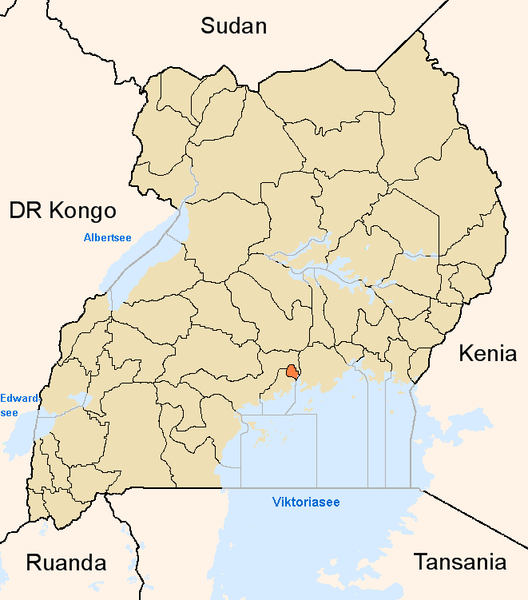
English: Map showing the position of the district Kampala in Uganda.
Deutsch: Karte, die die Position des Distriktes Kampala in Uganda anzeigt.
Plattdüütsch: Koort, de de Positschoon vun’n Distrikt Kampala in Uganda wiest. |
||
| Masomi | Aikin na | ||
| Marubucin | |||
| Izini (Sake amfani da wannan fayil) |
|
Tarihin fayil
Ku latsa rana/lokaci ku ga fayil yadda yake a wannan lokaci
| Rana/Lokaci | Wadar sufa | Kusurwowi | Ma'aikaci | Bahasi | |
|---|---|---|---|---|---|
| na yanzu | 17:03, 8 ga Yuni, 2005 | | 661 × 751 (31 KB) | Slomox | Map showing the position of the district Kampala in Uganda. {{GFDL}} Category:Maps of Ugandan districts |
Amfani da fayil
Wadannan shafi na amfani wannan fayil:
Amfanin fayil a ko'ina
Wadannan sauran wikis suna amfani da fayil din anan
- Amfani a kan ar.wikipedia.org
- Amfani a kan ceb.wikipedia.org
- Amfani a kan en.wikipedia.org
- Amfani a kan fa.wikipedia.org
- Amfani a kan fi.wikipedia.org
- Amfani a kan fo.wikipedia.org
- Amfani a kan fr.wikinews.org
- Amfani a kan gl.wikipedia.org
- Amfani a kan ig.wikipedia.org
- Amfani a kan is.wikipedia.org
- Amfani a kan ja.wikipedia.org
- Amfani a kan ko.wikipedia.org
- Amfani a kan mi.wikipedia.org
- Amfani a kan nds.wikipedia.org
- Amfani a kan oc.wikipedia.org
- Amfani a kan pl.wiktionary.org
- Amfani a kan ps.wikipedia.org
- Amfani a kan pt.wikipedia.org
- Amfani a kan qu.wikipedia.org
- Amfani a kan sw.wikipedia.org
- Amfani a kan ts.wikipedia.org
- Amfani a kan ur.wikipedia.org
- Amfani a kan vep.wikipedia.org
- Amfani a kan vo.wikipedia.org
- Amfani a kan www.wikidata.org
- Amfani a kan yo.wikipedia.org
- Amfani a kan zh.wikipedia.org
- Amfani a kan zu.wikipedia.org