
File:Map of Elim, Cambria County, Pennsylvania Highlighted.png

Hoton asali (pikisal 1,952 × 1,680, girman fayil: 65 KB, irin MIME: image/png)
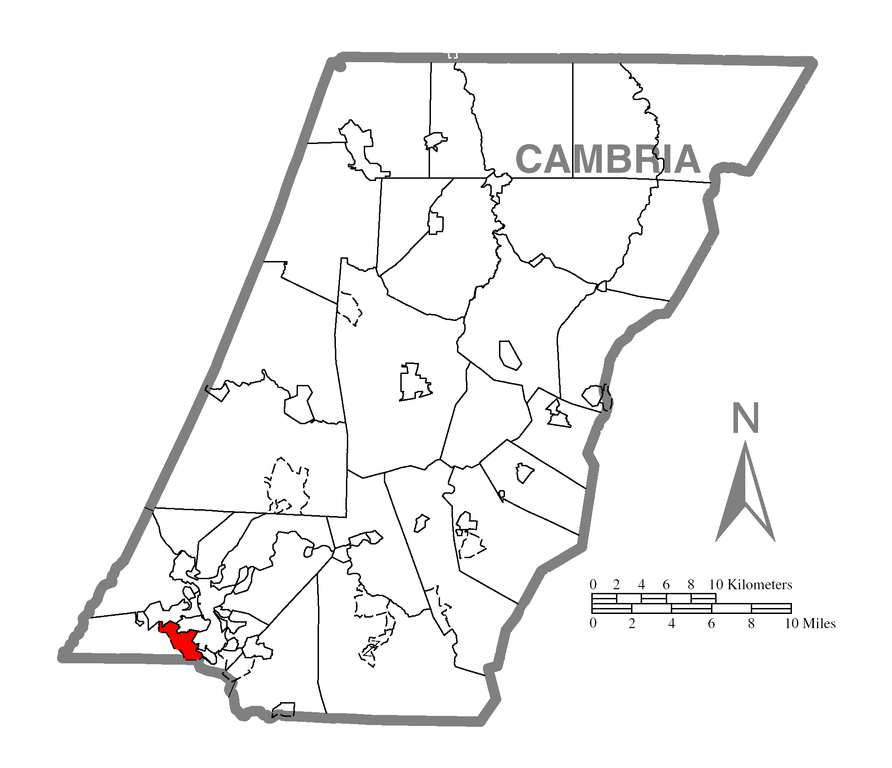
| Bayani | A map of Cambria County showing Elim, Pennsylvania (alternate) highlighted on the map. | |||
| Rana | ||||
| Masomi | Source image taken from the United States Census Bureau's website pa_cosub.pdf. Image was modified by Ram-Man. | |||
| Marubucin | (c)2006 Derek Ramsey (Ram-Man) (from U.S. Census Bureau source) | |||
| Izini (Sake amfani da wannan fayil) |
A United States Census Bureau / Government work is in the public domain, however, my modifications are licensed as follows: You may NOT use this image on your own web site or anywhere else unless you release this image and any derivative works (e.g. your web site) by following the terms of one of the following licenses. Any other use will be considered a breach of copyright and I reserve the right of legal action. If you have not read the terms of these licenses or do not understand them, then do not use this image. I, the copyright holder of this work, hereby publish it under the following licenses:
This file is licensed under the Creative Commons Attribution-Share Alike 2.5 Generic, 2.0 Generic and 1.0 Generic license.
Ku na iya zaɓan lasisin da kuke so. |
|||
| Other versions |
Image:Map of Cambria County, Pennsylvania.png - Source map before highlighting (with text). Image:Map of Cambria County, Pennsylvania No Text.png - Source map before highlighting (without text). |

Tarihin fayil
Ku latsa rana/lokaci ku ga fayil yadda yake a wannan lokaci
| Rana/Lokaci | Wadar sufa | Kusurwowi | Ma'aikaci | Bahasi | |
|---|---|---|---|---|---|
| na yanzu | 03:28, 19 Oktoba 2006 | | 1,952 × 1,680 (65 KB) | Ram-Man | {{Information| |Description={{PennMapDesc|Cambria|Elim}} |Source=Source image taken from the United States Census Bureau's website [http://www2.census.gov/geo/maps/general_ref/cousub_outline/cen2k_pgsz/pa_cosub.pdf pa_cosub.pdf]. Image was modified by [[: |
Amfani da fayil
Wadannan shafi na amfani wannan fayil:
Amfanin fayil a ko'ina
Wadannan sauran wikis suna amfani da fayil din anan
- Amfani a kan ar.wikipedia.org
- Amfani a kan azb.wikipedia.org
- Amfani a kan ca.wikipedia.org
- Amfani a kan en.wikipedia.org
- Amfani a kan es.wikipedia.org
- Amfani a kan eu.wikipedia.org
- Amfani a kan fa.wikipedia.org
- Amfani a kan sh.wikipedia.org
- Amfani a kan sr.wikipedia.org
- Amfani a kan tt.wikipedia.org
- Amfani a kan www.wikidata.org