
File:Map of comune of Sassuolo (province of Modena, region Emilia-Romagna, Italy).svg

Size of this PNG preview of this SVG file: 454 × 600 pixels. Wasu yarjejeniyoyi: 182 × 240 pixels | 363 × 480 pixels | 581 × 768 pixels | 775 × 1,024 pixels | 1,551 × 2,048 pixels | 4,206 × 5,555 pixels.
Hoton asali (Fayil kin SVG, saƙar fikisal 4,206 x 5,555, girman fayil: 103 KB)
.svg)
Taƙaici
| Bayani |
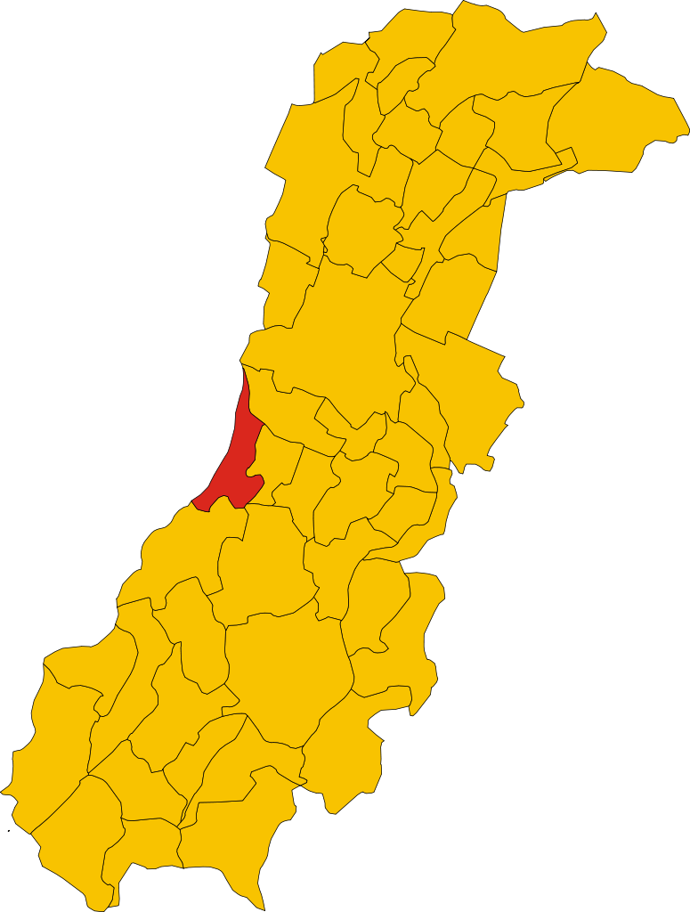
English: Map of the municipality (comune) of Sassuolo (province of Modena, region Emilia-Romagna, Italiya) |
| Rana | |
| Masomi | Aikin na |
| Marubucin | Vonvikken |
W3C-validity not checked.
Lasisi
| This work has been released into the public domain by its author, Vonvikken. This applies worldwide. In some countries this may not be legally possible; if so: |
Tarihin fayil
Ku latsa rana/lokaci ku ga fayil yadda yake a wannan lokaci
| Rana/Lokaci | Wadar sufa | Kusurwowi | Ma'aikaci | Bahasi | |
|---|---|---|---|---|---|
| na yanzu | 13:52, 4 Satumba 2011 | | 4,206 × 5,555 (103 KB) | File Upload Bot (Vonvikken) | == {{int:filedesc}} == {{Information |Description={{DescrMapComuneItaly|Sassuolo|||MO}} |Source={{own}} |Author=Vonvikken |Date=2011-09-04 |Permission= }} {{Valid SVG}} == {{int:license}} == {{PD-user|Vonvikken}} |
Amfani da fayil
Wadannan shafi na amfani wannan fayil:
Amfanin fayil a ko'ina
Wadannan sauran wikis suna amfani da fayil din anan
- Amfani a kan ar.wikipedia.org
- Amfani a kan azb.wikipedia.org
- Amfani a kan bg.wikipedia.org
- Amfani a kan ca.wikipedia.org
- Amfani a kan ceb.wikipedia.org
- Amfani a kan el.wikipedia.org
- Amfani a kan en.wikipedia.org
- Amfani a kan eu.wikipedia.org
- Amfani a kan fr.wikipedia.org
- Amfani a kan hu.wikipedia.org
- Amfani a kan hy.wikipedia.org
- Amfani a kan ia.wikipedia.org
- Amfani a kan it.wikipedia.org
- Amfani a kan ja.wikipedia.org
- Amfani a kan ko.wikipedia.org
- Amfani a kan la.wikipedia.org
- Amfani a kan lmo.wikipedia.org
- Amfani a kan nl.wikipedia.org
- Amfani a kan ro.wikipedia.org
- Amfani a kan sv.wikipedia.org
- Amfani a kan tl.wikipedia.org
- Amfani a kan tr.wikipedia.org
- Amfani a kan tt.wikipedia.org
- Amfani a kan www.wikidata.org
- Amfani a kan zh-min-nan.wikipedia.org
.svg)