
File:Mapai Mozambique.JPG
Yanayin wannan rigayi gani: 800 × 352 pixels. Wasu yarjejeniyoyi: 320 × 141 pixels | 1,035 × 455 pixels.
Hoton asali (pikisal 1,035 × 455, girman fayil: 75 KB, irin MIME: image/jpeg)
Taƙaici
| Bayani |
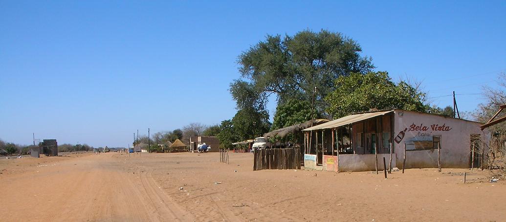
English: Photo of Mapai, Mozambique taken at 9:31 AM local time. Notice the rail line on the left. Camera is looking south. |
||
| Rana | |||
| Masomi | Aikin na | ||
| Marubucin | Brian Dell | ||
| Izini (Sake amfani da wannan fayil) |
|
| Camera location | | View this and other nearby images on: OpenStreetMap |
|---|
Tarihin fayil
Ku latsa rana/lokaci ku ga fayil yadda yake a wannan lokaci
| Rana/Lokaci | Wadar sufa | Kusurwowi | Ma'aikaci | Bahasi | |
|---|---|---|---|---|---|
| na yanzu | 17:52, 10 Nuwamba, 2008 | | 1,035 × 455 (75 KB) | Bdell555 | {{Information |Description={{en|1=photo of Mapai, Mozambique. Notice the rail line on the left. Camera is looking south.}} |Source=Own work by uploader |Author=Brian Dell Bdell555 |Date=15 Sept 2008 9:23 AM local time |Permission= |oth |
Amfani da fayil
Wadannan shafi na amfani wannan fayil:
Amfanin fayil a ko'ina
Wadannan sauran wikis suna amfani da fayil din anan
- Amfani a kan de.wikipedia.org
- Amfani a kan en.wikipedia.org
- Amfani a kan es.wikipedia.org
- Amfani a kan fr.wikipedia.org
- Amfani a kan ig.wikipedia.org
- Amfani a kan pt.wikipedia.org
- Amfani a kan ts.wikipedia.org
- Amfani a kan uk.wikipedia.org
- Amfani a kan www.wikidata.org
- Amfani a kan zh-min-nan.wikipedia.org
- Amfani a kan zh.wikipedia.org