
File:Niger BMNG.png

Yanayin wannan rigayi gani: 758 × 599 pixels. Wasu yarjejeniyoyi: 304 × 240 pixels | 607 × 480 pixels | 971 × 768 pixels | 1,280 × 1,012 pixels | 2,427 × 1,919 pixels.
Hoton asali (pikisal 2,427 × 1,919, girman fayil: 3.72 MB, irin MIME: image/png)
Taƙaici
| Bayani |
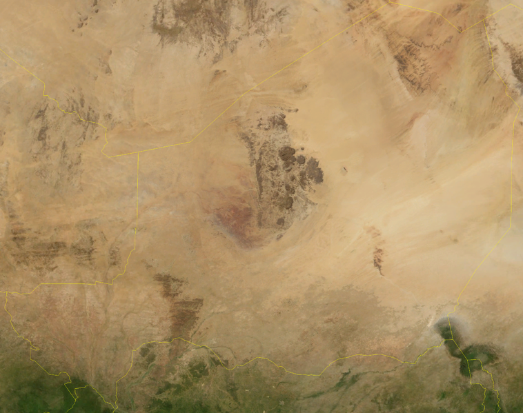
English: Satellite image of Niger in September 2004. Blue Marble Next-Generation image. |
| Rana | Taken in Satumba 2004 |
| Masomi | Satellite imagery taken from NASA World Wind software (by screenshot) |
| Marubucin | NASA |
| Other versions |
Derivative works of this file: |
Lasisi
| This image is in the public domain because it is a screenshot from NASA’s globe software World Wind using a public domain layer, such as Blue Marble, MODIS, Landsat, SRTM, USGS or GLOBE.
|
 |
Tarihin fayil
Ku latsa rana/lokaci ku ga fayil yadda yake a wannan lokaci
| Rana/Lokaci | Wadar sufa | Kusurwowi | Ma'aikaci | Bahasi | |
|---|---|---|---|---|---|
| na yanzu | 18:55, 26 ga Afirilu, 2006 | | 2,427 × 1,919 (3.72 MB) | Hautala | {{PD-WorldWind}} Satellite image of Niger in September 2004. Screenshot from NASA World Wind, Blue Marble Next-Generation layer. Category:Satellite images of countries |
Amfani da fayil
Babu shafuka da suke amfani da fayil din nan.
Amfanin fayil a ko'ina
Wadannan sauran wikis suna amfani da fayil din anan
- Amfani a kan af.wikipedia.org
- Amfani a kan en.wikipedia.org