
File:Stoutsville Main Street.jpg
Yanayin wannan rigayi gani: 800 × 532 pixels. Wasu yarjejeniyoyi: 320 × 213 pixels | 640 × 426 pixels | 1,024 × 681 pixels | 1,280 × 851 pixels | 2,560 × 1,702 pixels | 6,016 × 4,000 pixels.
Hoton asali (pikisal 6,016 × 4,000, girman fayil: 6.37 MB, irin MIME: image/jpeg)
| Camera location | | View this and other nearby images on: OpenStreetMap |
|---|
| Bayani |
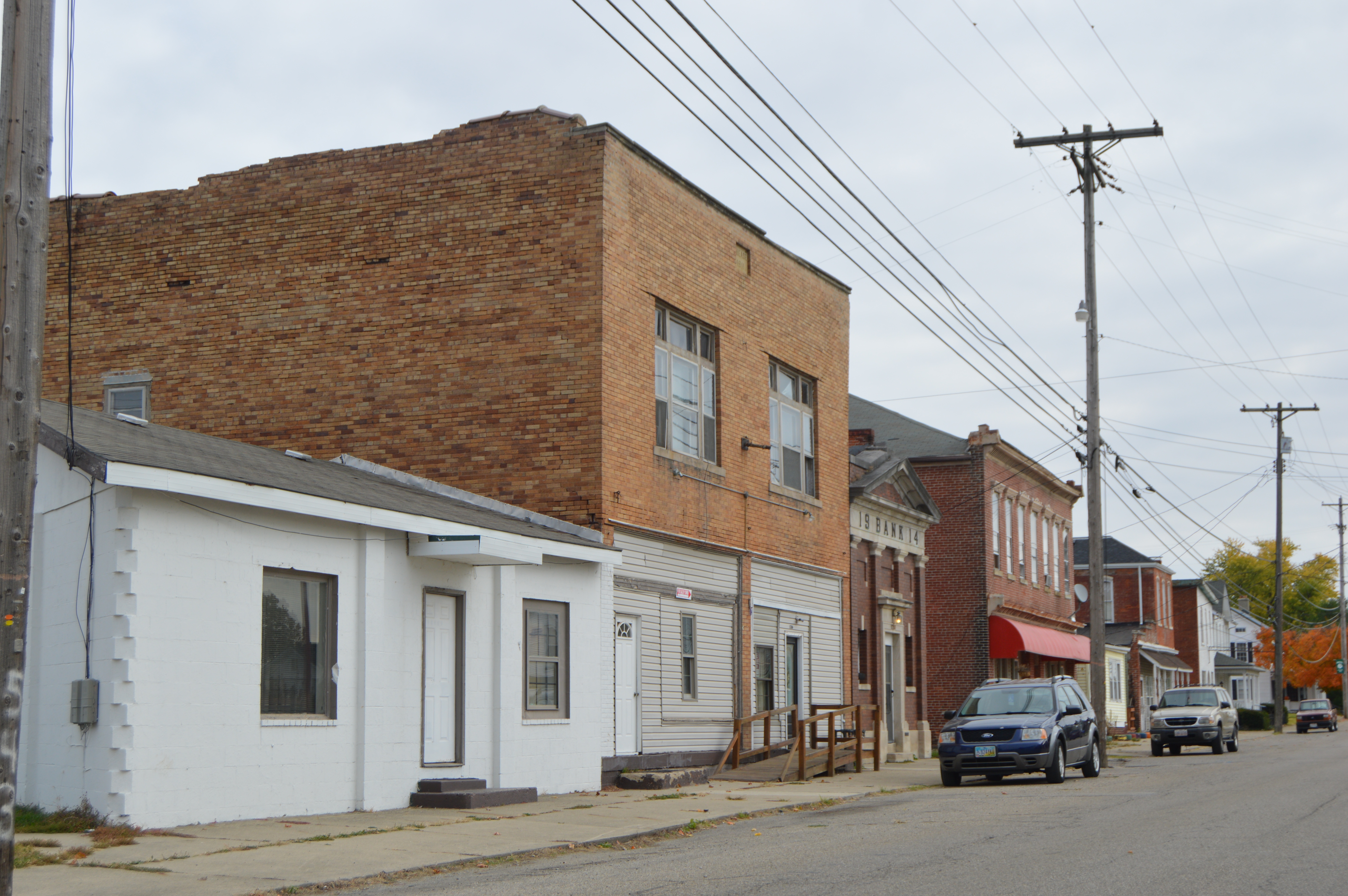
English: Buildings on the northern side of Main Street east of the former railroad crossing in Stoutsville, Ohio, United States. |
||
| Rana | Taken on 23 Oktoba 2015 | ||
| Masomi | Aikin na | ||
| Marubucin | Nyttend | ||
| Izini (Sake amfani da wannan fayil) |
|
Tarihin fayil
Ku latsa rana/lokaci ku ga fayil yadda yake a wannan lokaci
| Rana/Lokaci | Wadar sufa | Kusurwowi | Ma'aikaci | Bahasi | |
|---|---|---|---|---|---|
| na yanzu | 01:26, 2 Nuwamba, 2015 | | 6,016 × 4,000 (6.37 MB) | Nyttend | {{Location|39|36|18|N|82|49|41|W}} {{Information |Description={{en|Buildings on the northern side of Main Street east of the former railroad crossing in {{w|Stoutsville, Ohio|Stoutsville}}, {{w|Ohio}}, {{w|United States}}.}} |Source={{own}} |Date={{Tak... |
Amfani da fayil
Wadannan shafi na amfani wannan fayil:
Amfanin fayil a ko'ina
Wadannan sauran wikis suna amfani da fayil din anan
- Amfani a kan ar.wikipedia.org
- Amfani a kan ca.wikipedia.org
- Amfani a kan ceb.wikipedia.org
- Amfani a kan cy.wikipedia.org
- Amfani a kan en.wikipedia.org
- Amfani a kan es.wikipedia.org
- Amfani a kan eu.wikipedia.org
- Amfani a kan fr.wikipedia.org
- Amfani a kan ht.wikipedia.org
- Amfani a kan it.wikipedia.org
- Amfani a kan lld.wikipedia.org
- Amfani a kan pl.wikipedia.org
- Amfani a kan pt.wikipedia.org
- Amfani a kan sr.wikipedia.org
- Amfani a kan uk.wikipedia.org
- Amfani a kan vi.wikipedia.org
- Amfani a kan www.wikidata.org
- Amfani a kan zh-min-nan.wikipedia.org