
Fayil:Canada location map.svg

Size of this PNG preview of this SVG file: 706 × 599 pixels. Wasu yarjejeniyoyi: 283 × 240 pixels | 566 × 480 pixels | 905 × 768 pixels | 1,207 × 1,024 pixels | 2,413 × 2,048 pixels | 1,084 × 920 pixels.
Hoton asali (Fayil kin SVG, saƙar fikisal 1,084 x 920, girman fayil: 155 KB)
Taƙaici
| Bayani |
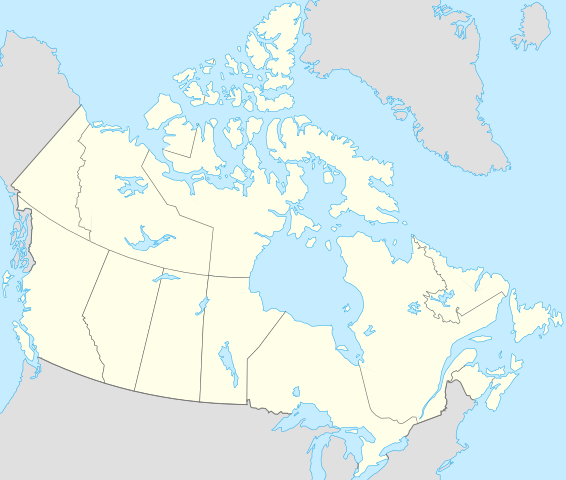
Français : Version recadrée et épurée de Carte administrative du Canada.svg pour la géolocation du Canada. Le cadrage est x=80px, y=166px, height=920, width=1084. Quelques positions :
English: cropped version of Carte administrative du Canada.svg for map location. |
|||||||||||||||||||||
| Rana | ||||||||||||||||||||||
| Masomi | Canada (geolocalisation).svg by STyx | |||||||||||||||||||||
| Marubucin | Yug | |||||||||||||||||||||
| Other versions |
Derivative works of this file: |
|||||||||||||||||||||
| SVG genesis |
|


.svg)
.svg)
}}
I, the copyright holder of this work, hereby publish it under the following licenses:
This file is licensed under the Creative Commons Attribution-Share Alike 2.5 Generic, 2.0 Generic and 1.0 Generic license.
- Za ka iya:
- a raba – dan kwafa, yadawa da aika aikin
- dan maimaita – dan daukar aikin
- A karkashin wannan sharuddan
- Jinginarwa – Dole ku bada jinjina da ta dace, samar da linki zuwa lasisin, da kuma bayyana ko kunyi sauyi. Zaku iya haka ta yadda ta dace, amma ba kowace hanya ba wanda zai nuna mai-lasisin yana goyon bayan ku ba ko goyon bayan amfanin da kuke yi ba.
- Yada ahaka – Idan kuka maimaita, sabuntawa, ko kari akan wannan, dole ku bayar da gudunmuwar ku karkashin iri daya ko lasisi data dace kamar na asali.

|
An bada damar a kofa, a yaɗa/ko sauya wannan kundi ƙarƙashin Lasisin GNU ta kyauta, Fitarwa na 1.2 ko duk wani fitarwa da zai biyo baya daga Gidauniyar Samar da Software ta Kyauta; ba tare da sauyin sashe ba, babu Rubutun Fuskar gaban shafi, kuma babu Rubutun bayan shafi. Kofi na lasisin na nan an sanya sa aciki ƙarƙashin sashen GNU Free Documentation License. |
| Wannan fayil ɗin an bada lasisin shi ƙarƙashin Creative Commons Attribution-Share Alike 3.0 Unported lasisi. | ||
| ||
| This licensing tag was added to this file as part of the GFDL licensing update. |
Ku na iya zaɓan lasisin da kuke so.
Original upload log
This image is a derivative work of the following images:
- Canada (geolocalisation).svg licensed with Cc-by-sa-2.5,2.0,1.0, GFDL
- 2007-02-07T01:48:11Z STyx 1084x920 (95884 Bytes) retouche mineure
- 2007-02-07T01:41:09Z STyx 1084x920 (95939 Bytes) {{Information |Description= *{{fr}} Version recadrée et épurée de [[:Image:Carte administrative du Canada.svg]] pour la géolocation du Canada. Le cadrage est x=80px, y=166px, height=920, width=10
Uploaded with derivativeFX
Tarihin fayil
Ku latsa rana/lokaci ku ga fayil yadda yake a wannan lokaci
| Rana/Lokaci | Wadar sufa | Kusurwowi | Ma'aikaci | Bahasi | |
|---|---|---|---|---|---|
| na yanzu | 19:27, 17 ga Afirilu, 2021 | | 1,084 × 920 (155 KB) | Akeosnhaoe | draw in w:Killiniq Island as part of Nunavut and fix Smallwood Reservoir color |
| 18:24, 16 ga Afirilu, 2021 |  | 1,084 × 920 (155 KB) | Akeosnhaoe | recreate previous 2 edits from the original to fix some borders on the water not being blue | |
| 16:13, 26 ga Janairu, 2014 |  | 1,084 × 920 (67 KB) | Ras67 | -frame | |
| 22:53, 18 ga Yuli, 2008 |  | 1,084 × 920 (113 KB) | Yug | {{Information |Description= |Source= |Date= |Author= |Permission= |other_versions= }} | |
| 22:18, 17 ga Yuli, 2008 |  | 1,084 × 920 (155 KB) | Yug | {{Information |Description=*{{fr}} Version recadrée et épurée de Image:Carte administrative du Canada.svg pour la géolocation du Canada. Le cadrage est x=80px, y=166px, height=920, width=1084. Quelques positions : <center><table style="border:1px |
Amfani da fayil
Babu shafuka da suke amfani da fayil din nan.
Amfanin fayil a ko'ina
Wadannan sauran wikis suna amfani da fayil din anan
- Amfani a kan af.wikipedia.org
- Amfani a kan als.wikipedia.org
- Amfani a kan an.wikipedia.org
- Amfani a kan ar.wikipedia.org
- Amfani a kan arz.wikipedia.org
- Amfani a kan ast.wikipedia.org
- Gran Premiu de Canadá de 2007
- Gran Premiu de Canadá de 2006
- Gran Premiu de Canadá de 2008
- Montes Rocosos
- Windsor (Ontario)
- Ontario
- Islla del Cabu Bretón
- Nueva Escocia
- Islla Valdés
- Alberta
- Nueva Brunswick
- Nunavut
- Islla Killiniq
- Aeropuertu de Powell River
- London (Ontario)
- Toronto
- York University
- Alert
Duba ƙarin amfanin wannan fayil.